Hey everyone! Lauren here to tell you about our time in Puerto Montt and the Los Lagos region of Chile. Los Lagos, or The Lakes, region is considered the very northern portion of Patagonia.
We originally were not intending to come to Puerto Montt, but at the advice of someone that was on our Galapagos cruise, and after looking at beautiful pictures of the area online, I thought it would be a very interesting contrast to Southern Patagonia, which we visited in Argentina. (blog posts to come!)
Arriving in Puerto Montt
Our bus arrived in Puerto Montt around 10 am, and Gerrod and I were feeling exhausted and hungry! We opted to take buses all the way from San Pedro de Atacama to Puerto Montt due to the expensive flight prices, and sleeping on a bus is much less satisfying than we both had hoped.
We ate a quick snack, and began our walk to our hostel, Hospedaje Javiera. Although Gerrod and I have rolling bags, they convert into backpacks which makes it easier to traverse the landscape on longer walks. The bags look ridiculous as backpacks, and it is still physically challenging… especially uphill.
Walking Around Town
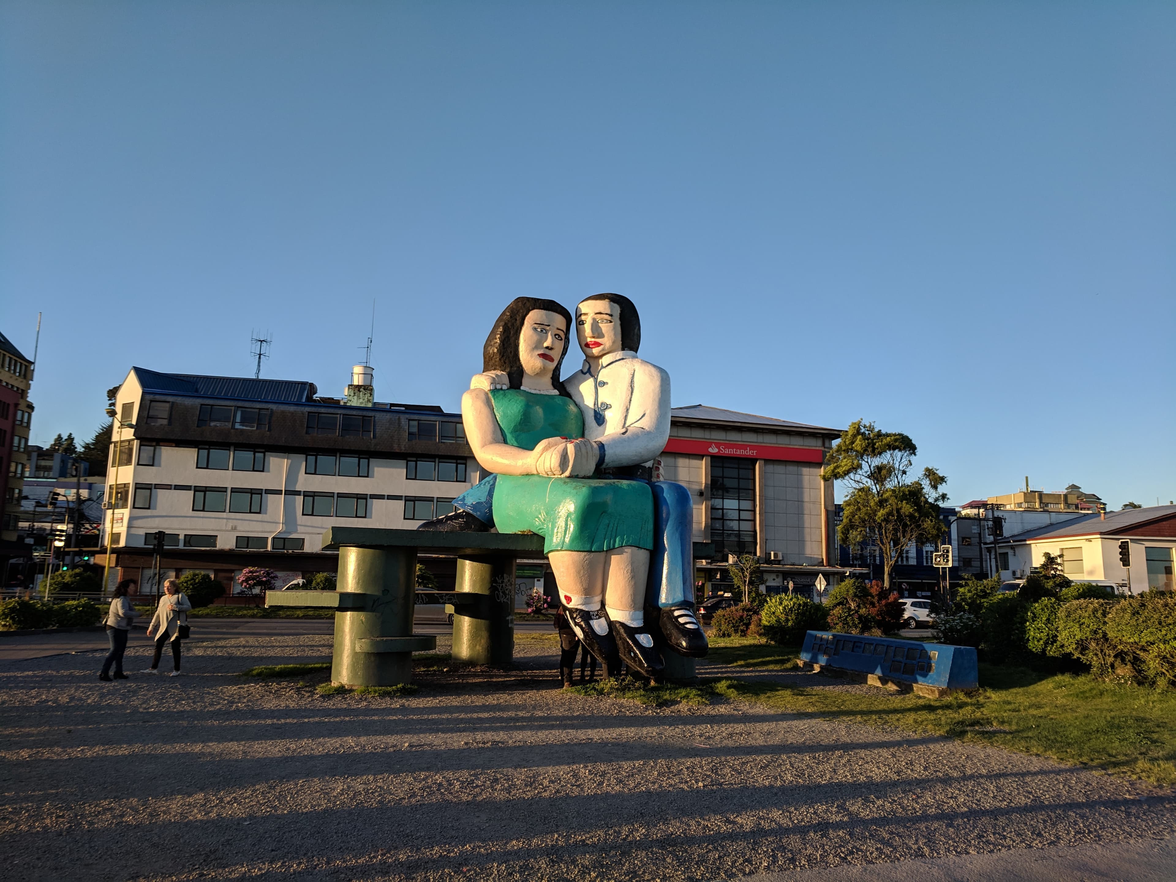
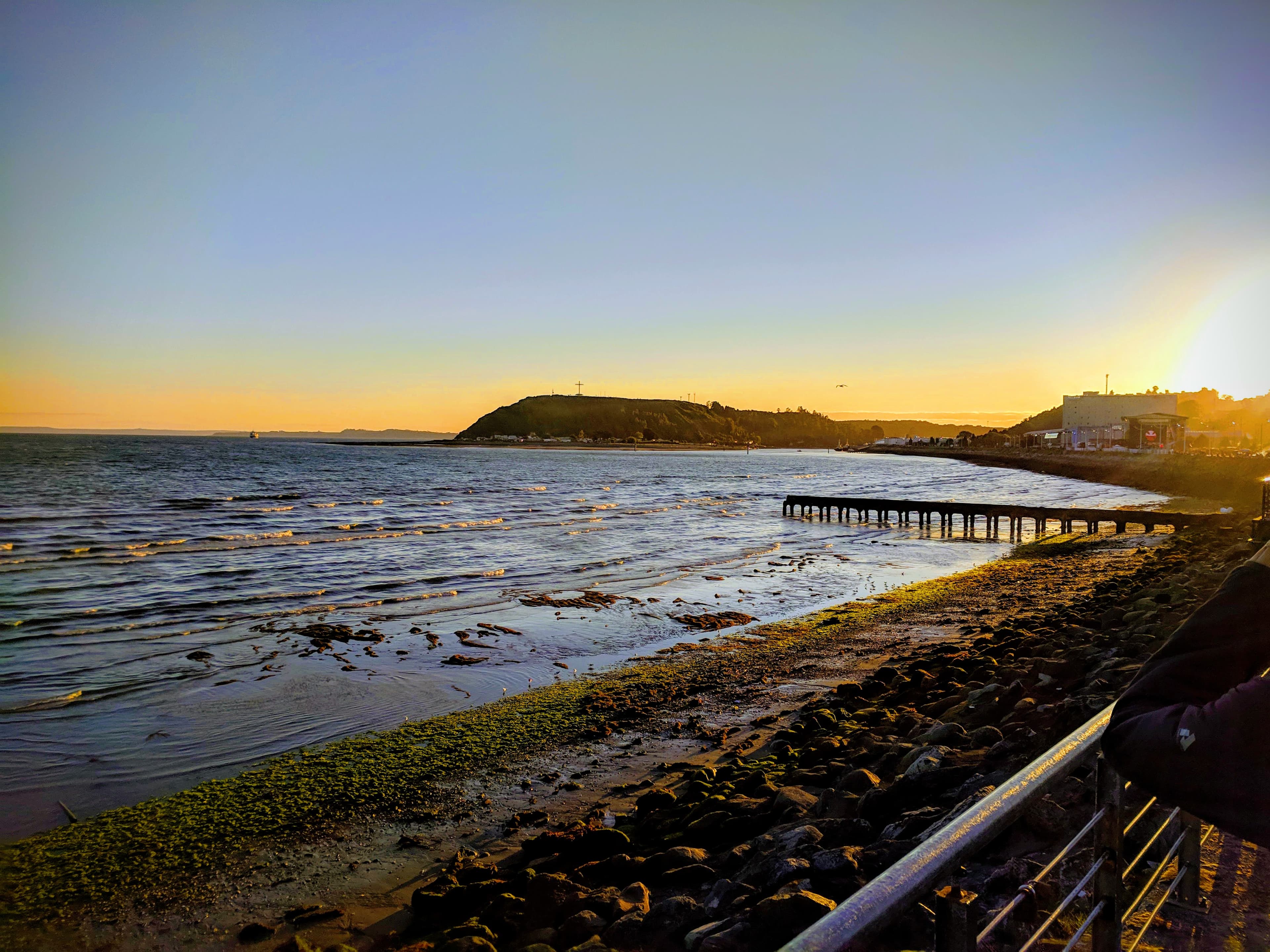
Since we were so tired we decided to use much of the day to chill. After relaxing for much of the day we decided to explore town for a bit. We walked to the ocean front to go to a viewpoint that was marked on Maps.ME known as Sentados Frente Al Mar, which turned out to be this ridiculous looking giant sculpture near the ocean.
After taking some photos we walked to Plaza de Armas, the main plaza in Puerto Montt. There was a stage set up where there was some live music, and what looked like floats from a parade that must have happened earlier. The music seemed to be metal and rock’n’roll. There were tons of people walking around, and lots of what Gerrod deemed “punk rock kids”.
We were getting hungry, so we went to a restaurant located on the square called Rincón de Adela. As always, I was struggling with what to order so I asked our waitress if she had any recommendations. She asked us how hungry we were, and suggested a meal for two with a variety of meats. It sounded good so we decided to go for it.
She brought out our glasses of wine (wine is cheap in Chile!) and soon brought us this HUGE platter full of at least 5 different types of meats AND french fries. Every single thing on the platter was delicious. There was so much food, and we ate as much as we could but ultimately gave up trying to finish the platter and asked for the rest of our food “para llevar” (to go).
Renting a Car
The next morning we intended to rent a car so we could drive to a park that was about an hour outside of the city. I say intended because it was Sunday, and much like in Calama, almost everything was closed!
We decided to take a stab at messaging some of the rental car companies, and got a response on WhatsApp from Blue Rental Car! We arranged our rental car all through a WhatsApp phone call, and our rental was set up for delivery at 15:30.
Failed attempt at Monumento Natural Lahuen Ñadi
Since it was a little late to try to go to the park I originally wanted to see, I found a park that was even closer to town called Monumento Natural Lahuen Ñadi. The drive only took us about 15-20 minutes, and Gerrod drove the manual transmission way better than I was expecting!
We followed directions on Maps.ME, and ended up at a gravel drive with a closed gate. We were very confused and pulled off to the side of the gravel drive. I knew that the park was at the entrance of a condominium neighborhood, but we did not see a button or anything to get the gate to open. After awhile, some other cars drove up and we saw them get out their phones and make a call to open the gate.
There was a sign on the gate with a phone number, but it only had some of the required digits. We had to google Chile’s country code and looked up how to make a phone call. We tried three different phone numbers, all either being invalid numbers or having no answer.
After spending about 30 minutes trying to get the gate to open so we could go to the park, we gave up and headed back to our hostel very disappointed.
Visit to Vicente Pérez Rosales National Park
Drive to the Park
The next day was much more successful! After breakfast we hopped in our rental car and began our journey to Vicente Pérez Rosales National Park, located about 75 minutes away from Puerto Montt. We followed directions via Maps.ME, which took us on a toll road which cost us $600 Chilean Pesos (CLP) to exit at Puerto Varas.
Puerto Varas is a touristy town located north of Puerto Montt, and is a more popular town to stay in to visit the lake region, because it is considered to have a better view and more interesting building architecture. It is located along Lake Llanquihue and has a great view of Volcán Osorno, but we found that Puerto Montt was more central to the surrounding national parks, so we opted to stay there instead.
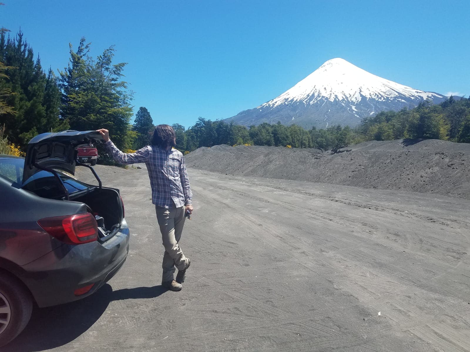
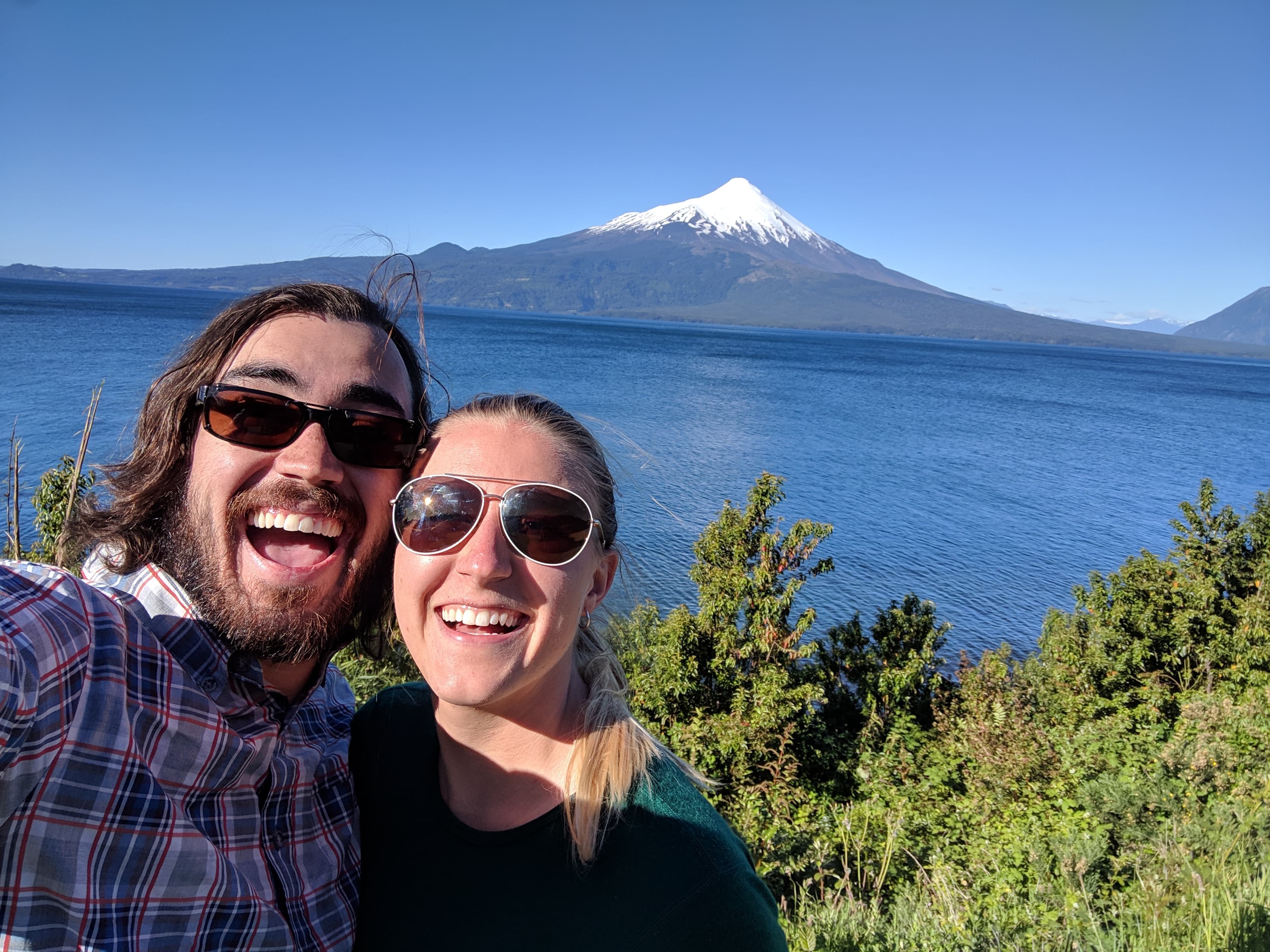
After driving through Puerto Varas, we ended up on a very scenic route 225 which followed Lake Llanquihue. There were several viewpoints along the lake, which had a gorgeous view of both the lake and the very tall Volcan Osorno.
Saltos de Petrohué (Waterfalls of Petrohué)
When we finally arrived at the Saltos de Petrohué, there was a clearly marked parking area that cost 1000 CLP ($1.50 USD). Near to the parking area there was a large building with a cafe, souvenirs, and even a tour agency. We walked across a bridge to a park building, where we paid an entry fee of 4000 CLP per person (for foreigners).
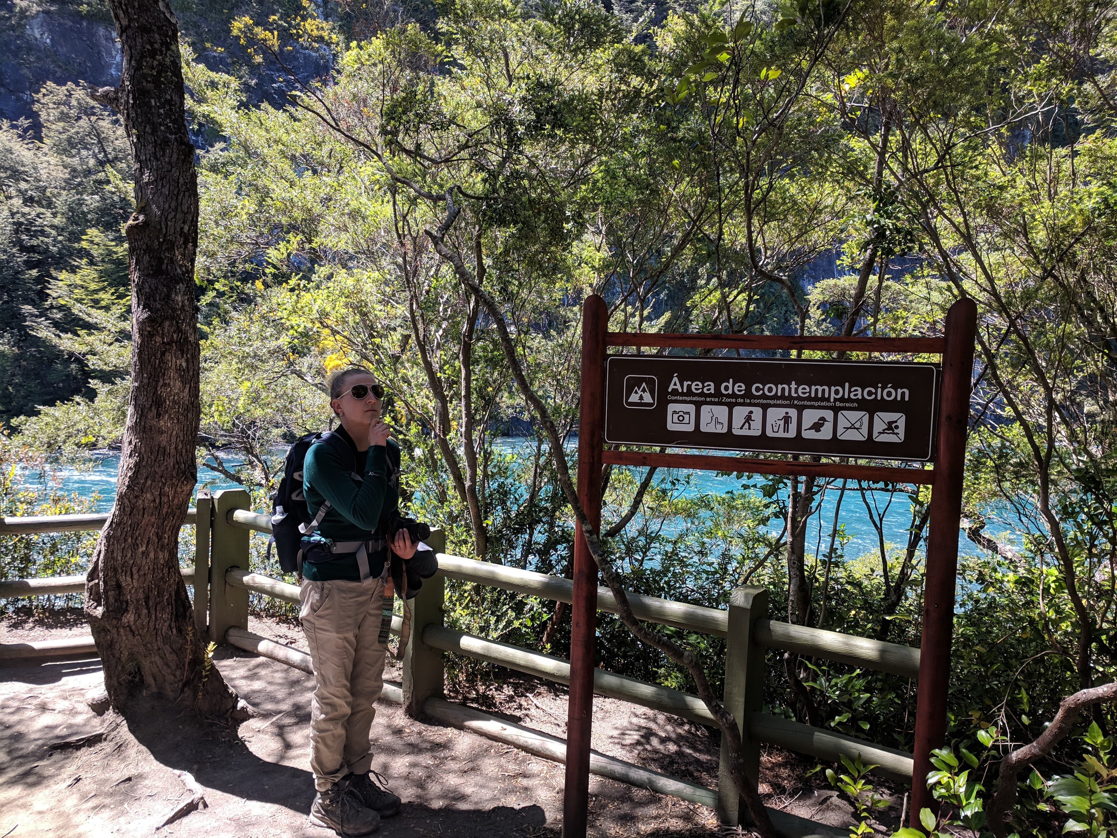
There were three walking trails or senderos around the falls. To hike all three trails took about an hour and a half and they were all very easy trails. The Sendero Saltos de Petrohué was very short and easy and had amazing views of the Osorno Volcano!
Hiking at Volcán Osorno
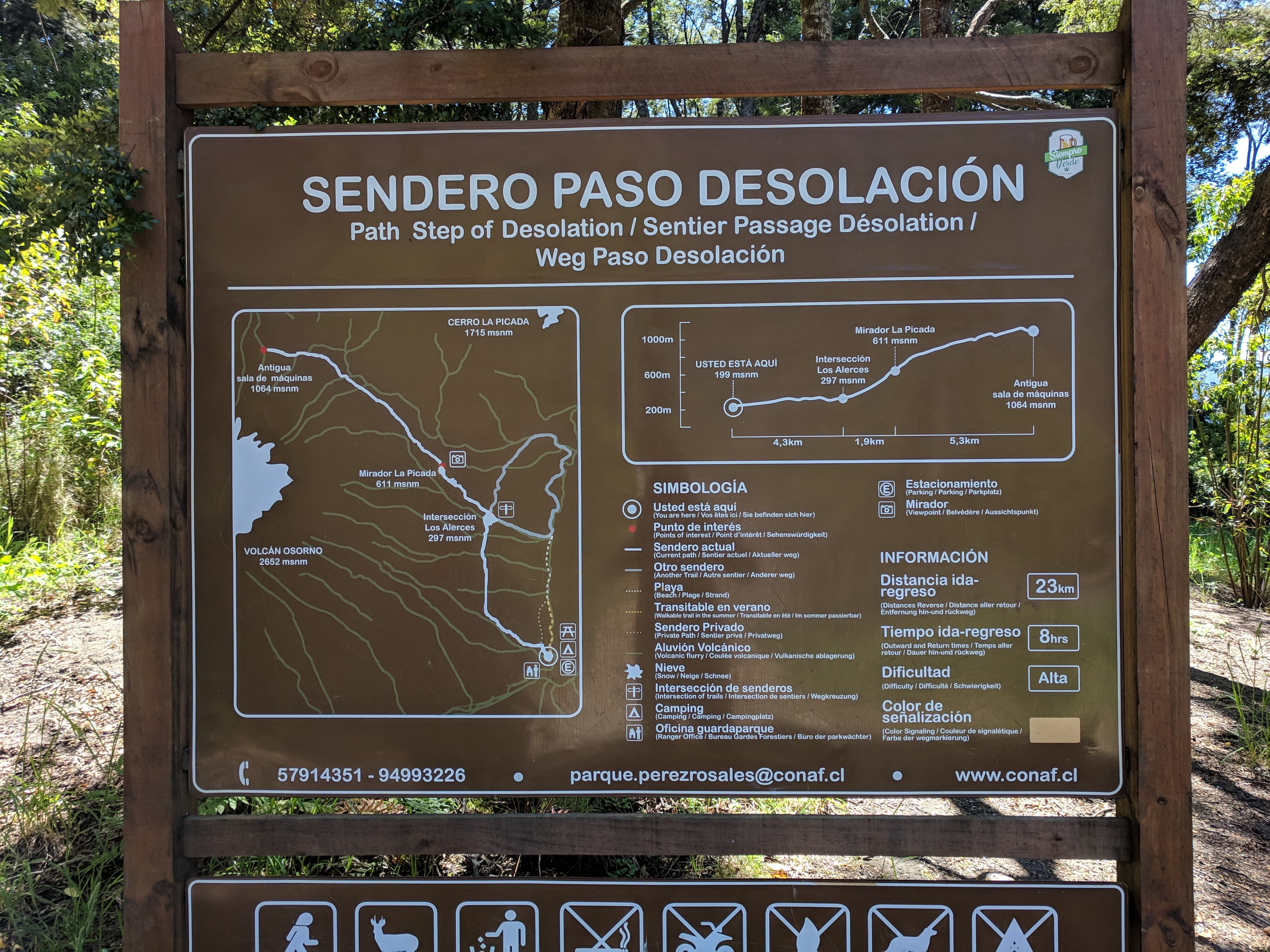
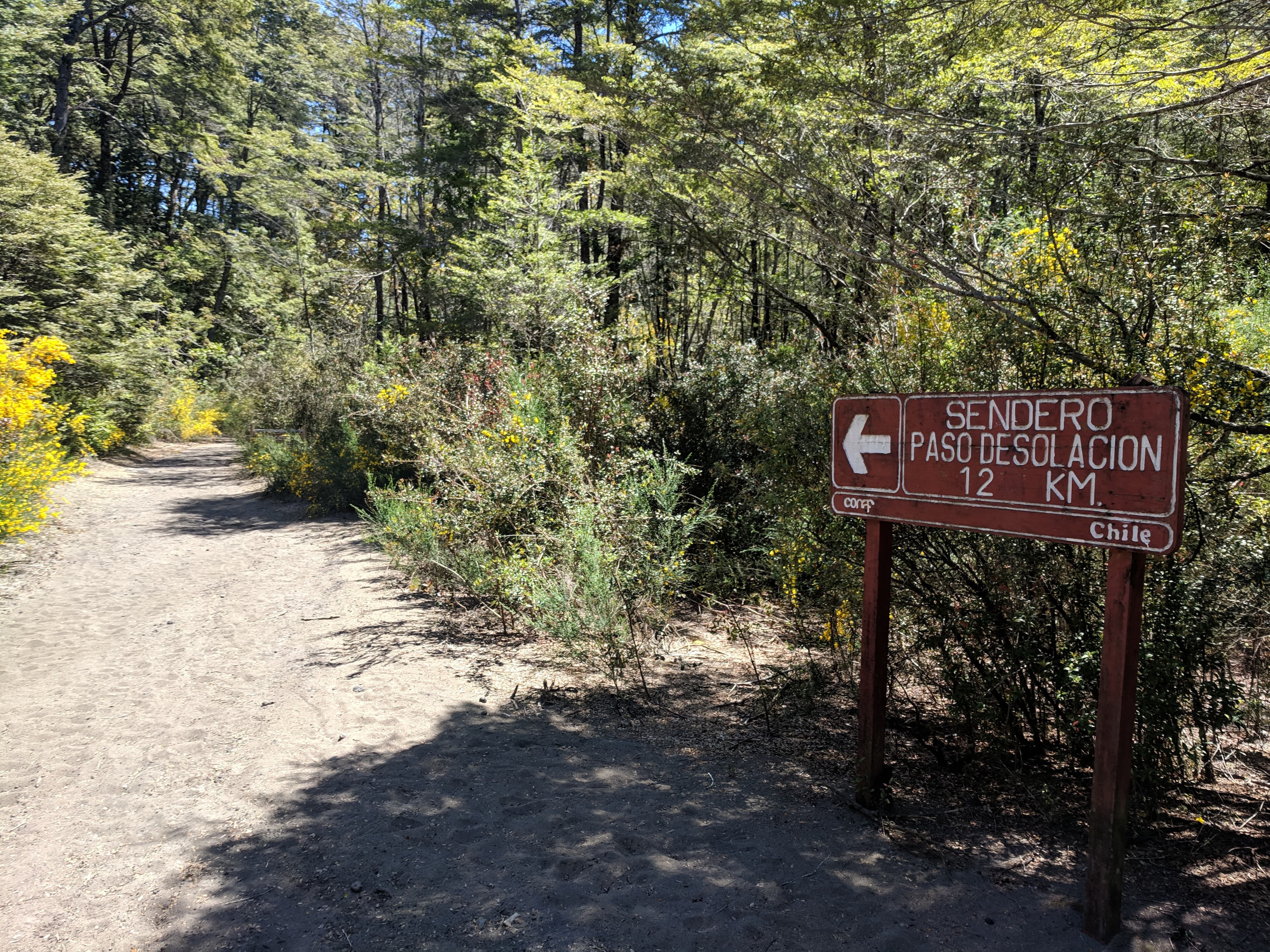
After exploring all of the trails around the Saltos de Petrohué, we headed to a hiking path closer to Volcán Osorno called Paso de Desolación. It was incredibly hard to find good hiking trail maps in Petrohué national park, but when I was searching Maps.ME and Google Maps for walking paths I saw one called Paso de Desolación that was very close to the volcano. We made our way to the town Petrohué to find that start of the trail, and parked our rental car. There were very good views of Lago Todos los Santos near the parking area.
We made our way to where Maps.ME said the trail started, and there was a very descriptive sign with a map of the trail, elevations, and even approximate walking times! Yay!
We decided to walk only a portion of the trail as it was getting to be later in the afternoon, so we began our hike. The trail was very sandy, but winded through beautiful yellow flowers and had a constant view of Volcán Osorno. The sky was perfectly clear, which made views of the volcano even more stunning.
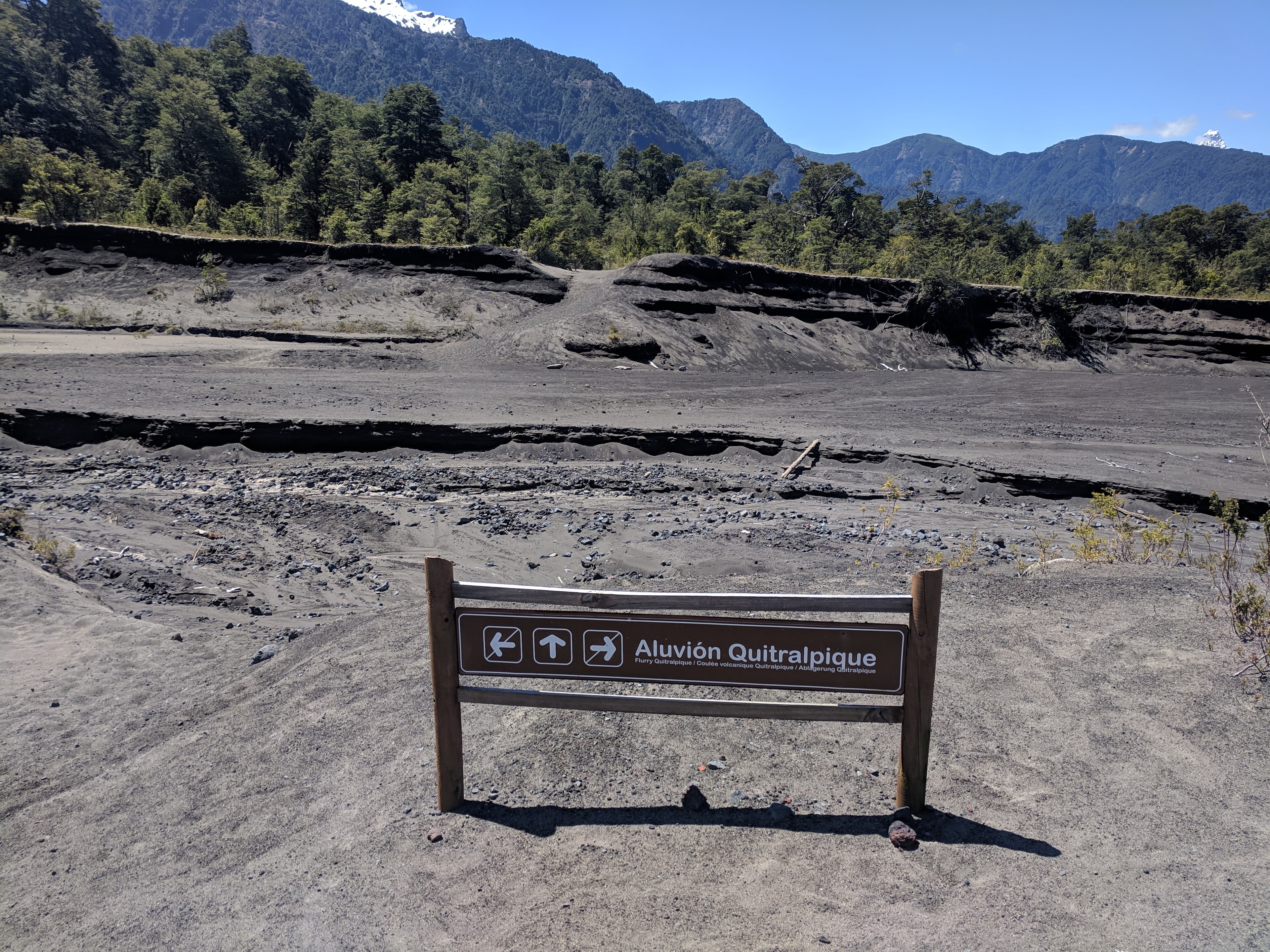
Volcán Osorno erupted in 1869, and there were still indications of the eruption! We had to walk across volcanic flurries (Aluvión Volcánico) which were large stream-like channels filled with loose volcanic soil, and it had seemed that there were several areas that the vegetation had not yet recovered. Charles Darwin allegedly saw the volcano erupting, which I think is pretty neat.
After walking for about 4.5km, we began a fairly steep uphill before arriving at our intended turn around point, Mirador La Picada. After taking pictures of the incredible views, we made our way back to our rental car.
Drive back to Puerto Montt
On our drive back to Puerto Montt, we stopped at the several of the viewpoints along route 225 near Lake Llanquihue with greats view of the volcano to snap some pictures. The traffic was luckily not too bad, and we soon were back on the toll road on our way to our hostel. This time the toll road cost us 700 CLP to go to Puerto Montt.
After eating dinner and showering, we were ready for the next day’s adventures in the lake region. Part two of Puerto Montt to come!
Love,
Lauren (and Gerrod)


