Hey everyone! Lauren here to tell you about our Fitz Roy hike in El Chaltén!
Getting to the Trailhead
We intended to wake up early to get on the trail since the map we received at the bus station said one way to Laguna de los Tres, the lake beneath Fitz Roy would take 4 hours. However, we slept in and after we cooked ourselves eggs and toast for breakfast, and got ready to go it was already 10am!
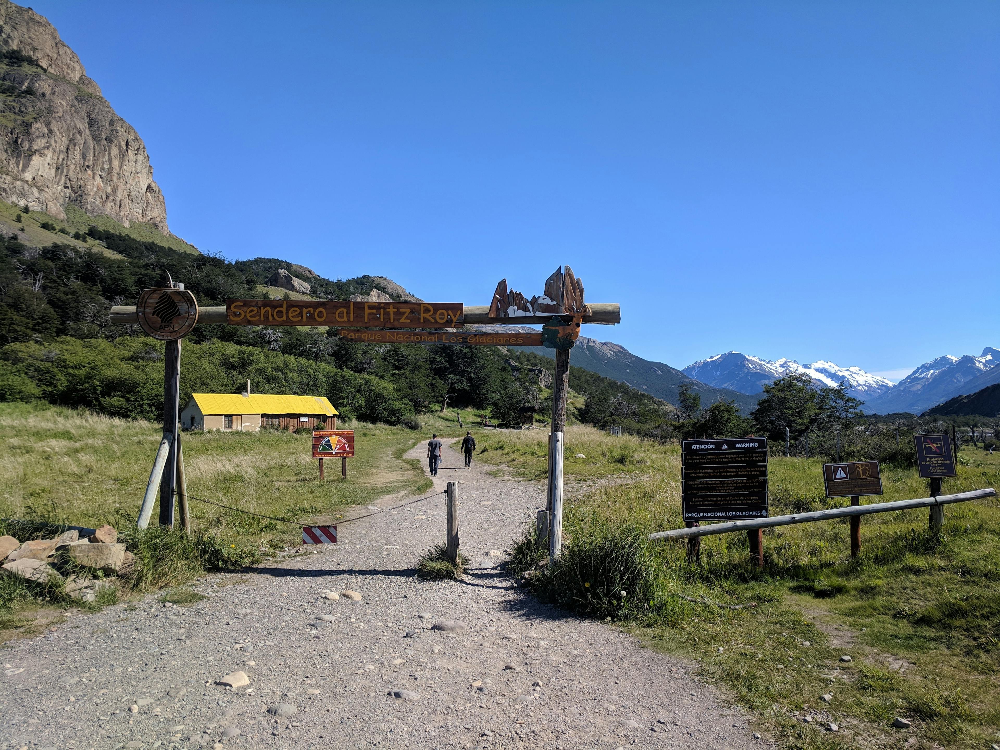
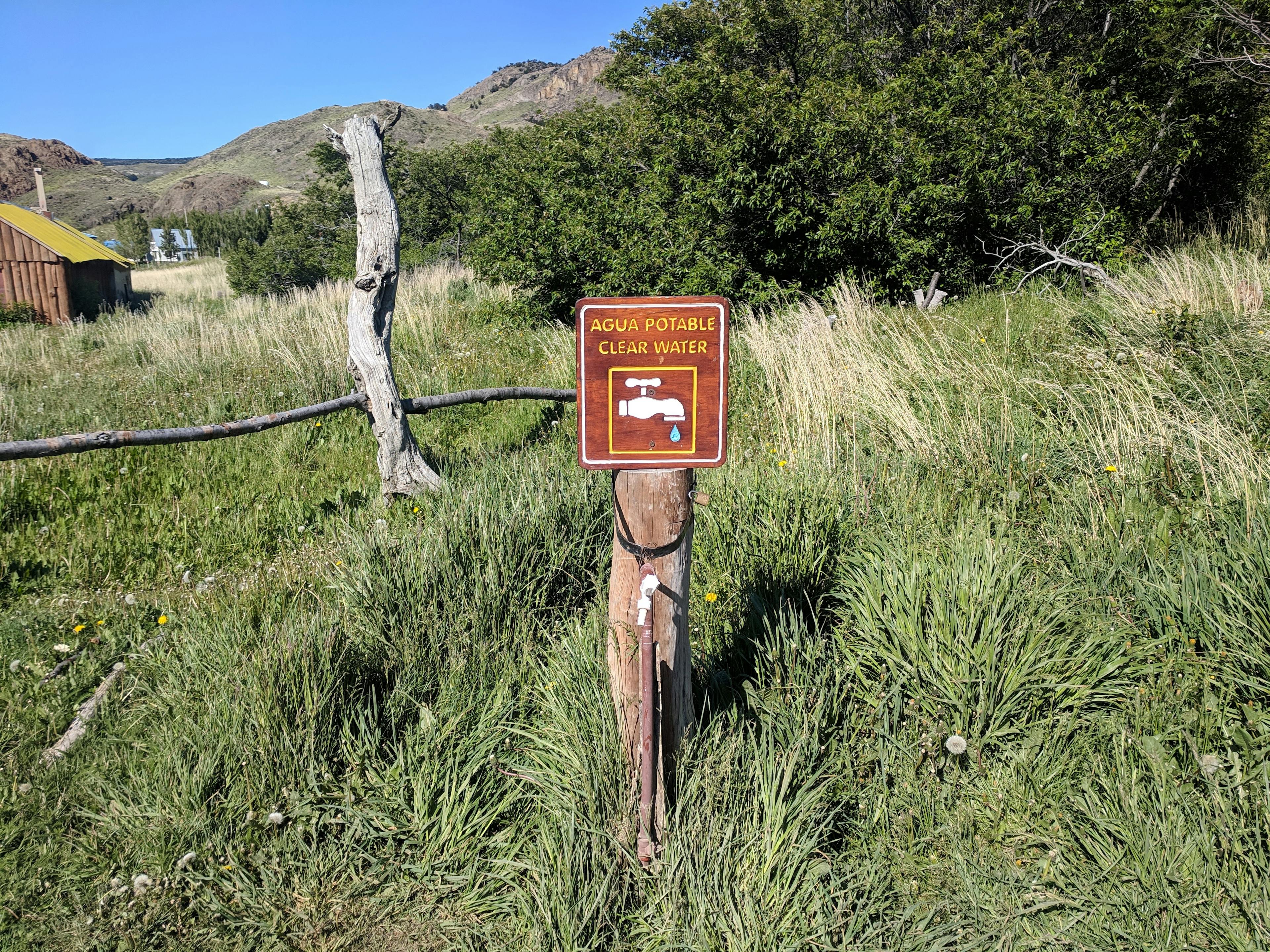
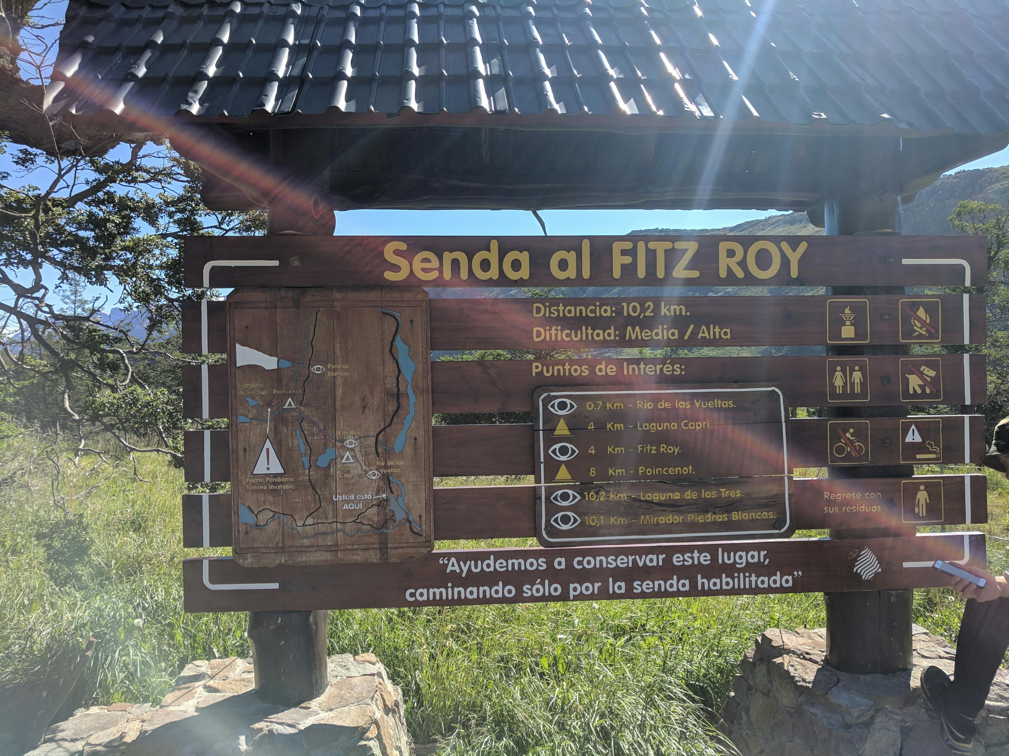
We hiked the the trailhead from our hostel, which was about 1.5 km. At the trailhead there was a place to fill your water bottles with potable water and a map of the trail. The map indicated that the trail was 10.2 km one way, which is about 6.3 miles.
The Hike
The beginning of the hike was uphill, with a viewpoint called Mirador Río de las Vueltas not too far along the trail. The mirador had a beautiful view of the braided channel of the river below, and of course I used the view to explained braided river channels to Gerrod. After taking some pictures and finding a 4 leaf clover, we continued our trek uphill.
The trail continued uphill, and it seemed to go on forever because our feet were a little sore from the previous two days of hiking. But after about 5 km, the trail flattened out and we could truly appreciate the 360⁰ views.
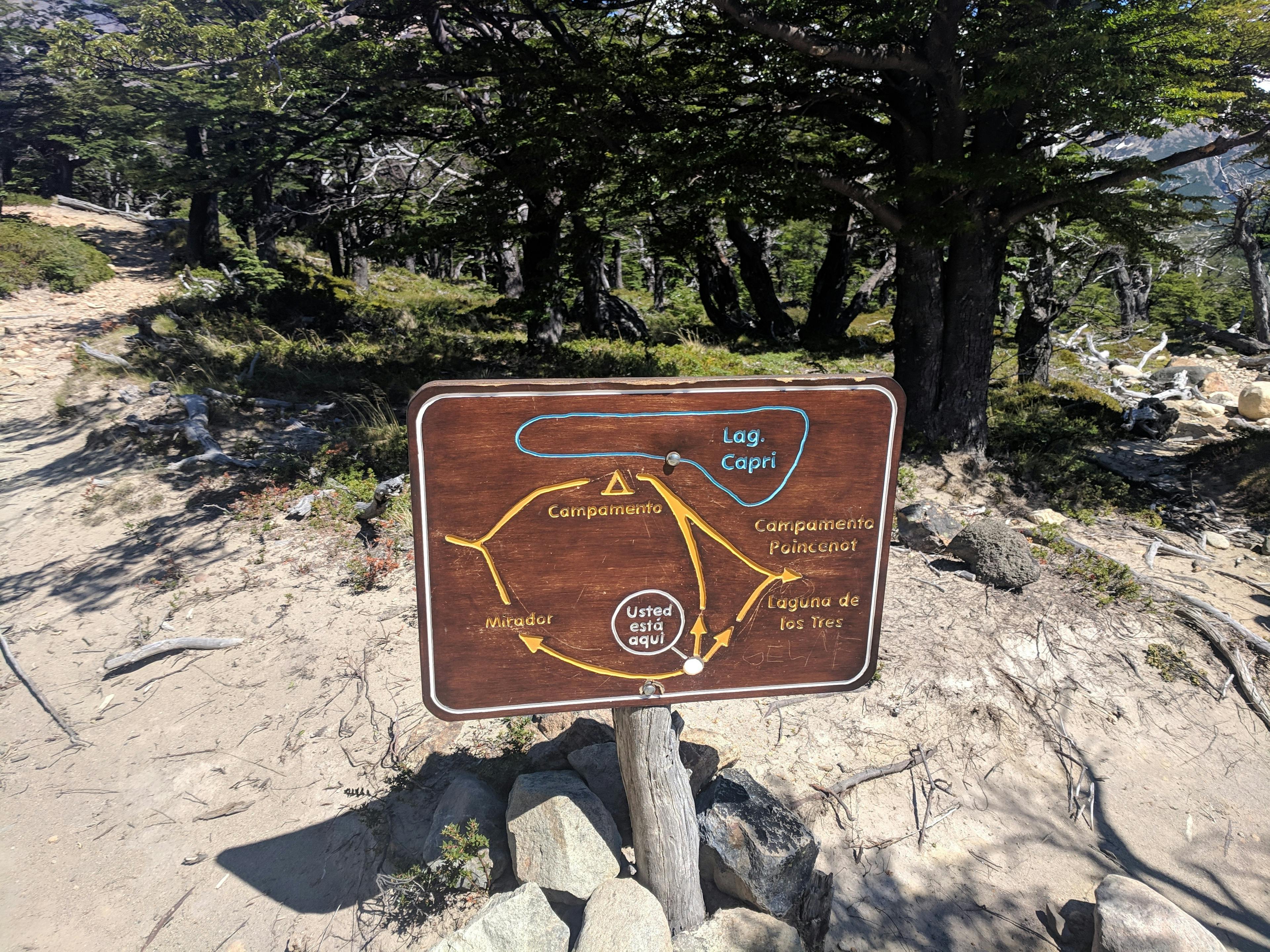
We soon came to a fork in the trail, with the left trail going to a camp near Laguna Capri and the right trail towards Mirador del Fitz Roy. We opted to go to the mirador, which had absolutely stunning view of Fitz Roy.
Approaching the Summit
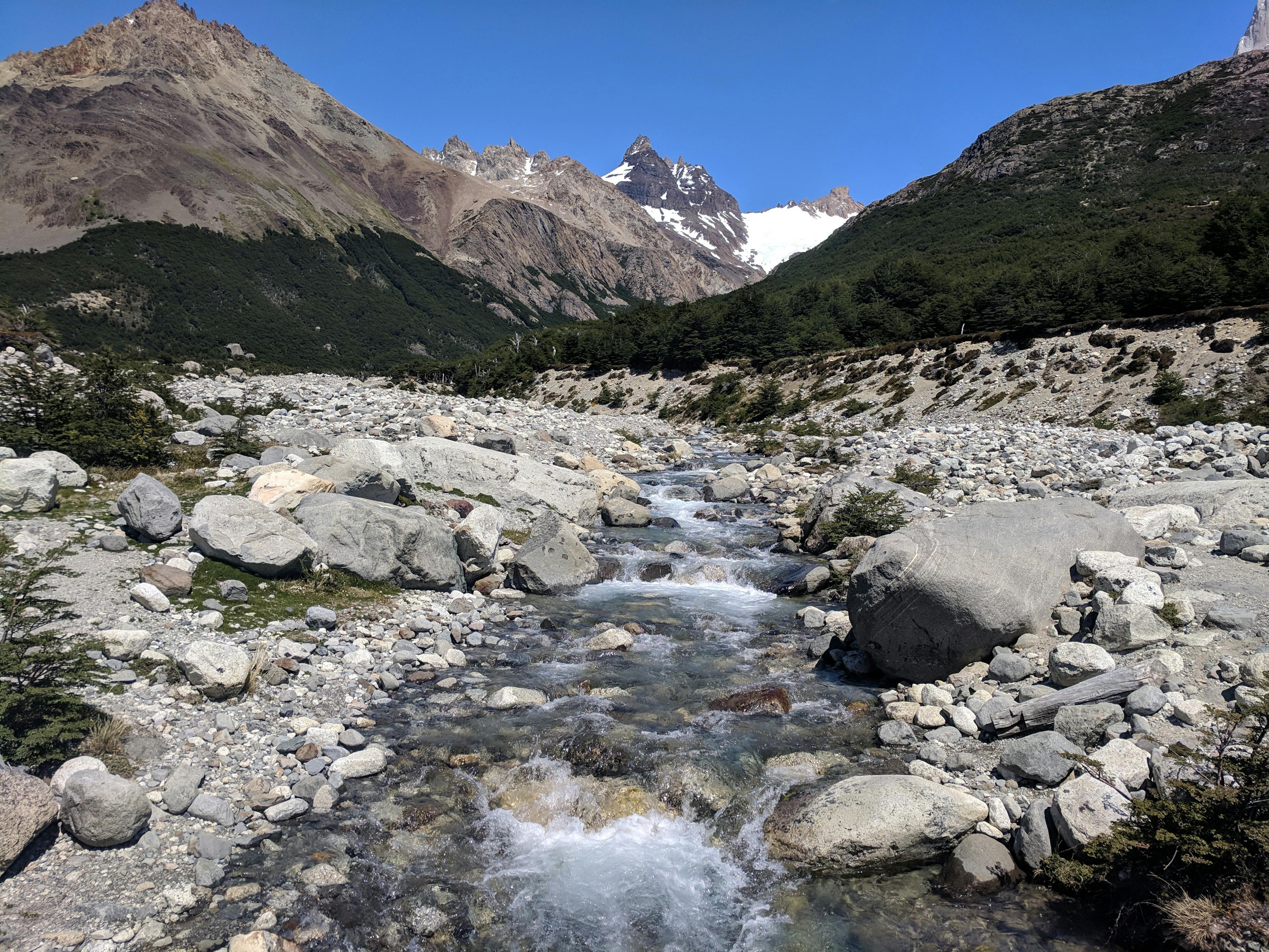
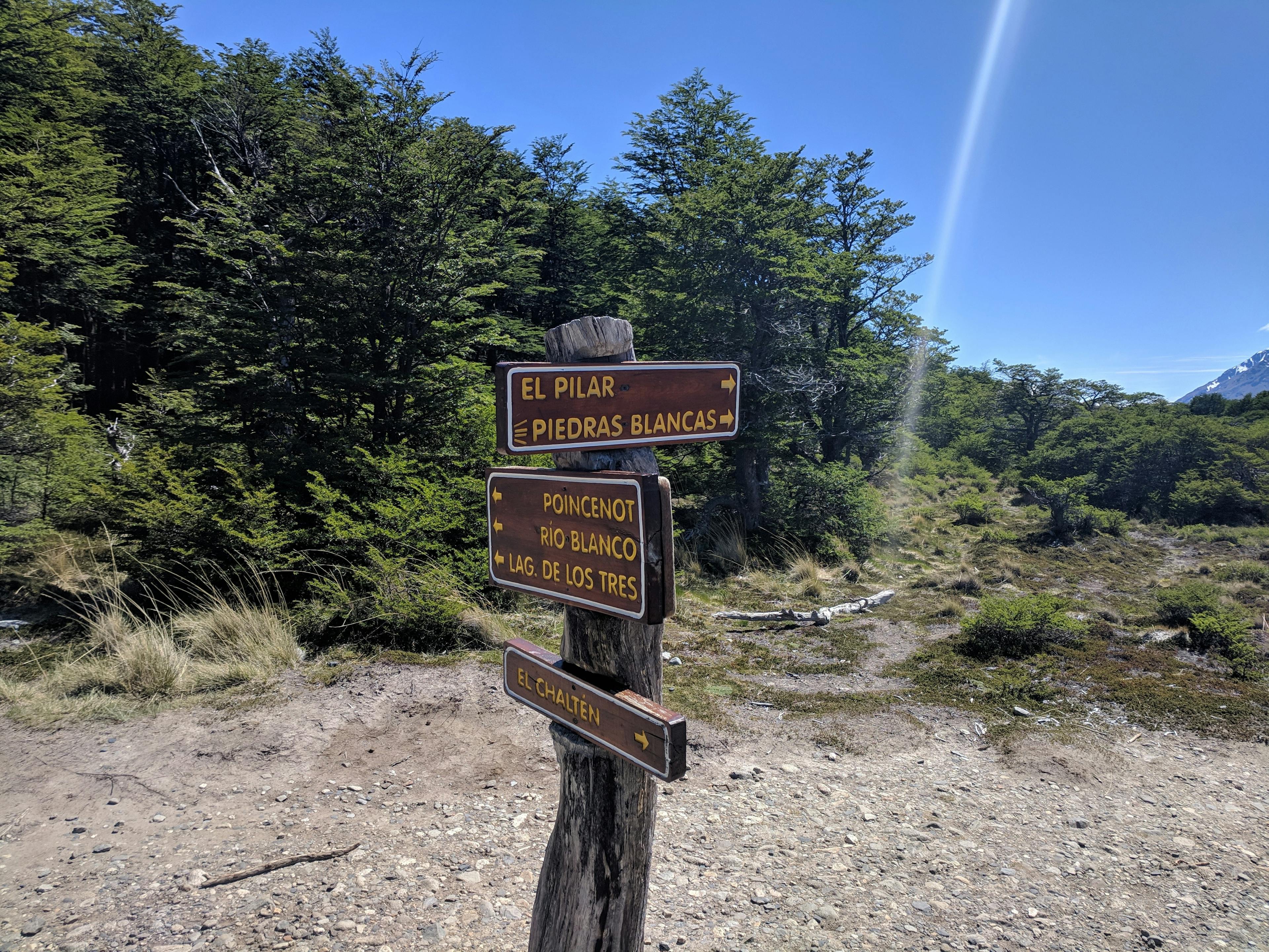
As we continued the hike, we began walking through a wetland area (yay!) and across some beautiful streams. We also passed side trails to Madre de Hija and Piedras Blancas trail. I had my Garmin watch on which was keeping distance, and it was getting very close to 10 km. However, it seemed like the closer we got to 10km the less view we had of Fitz Roy.
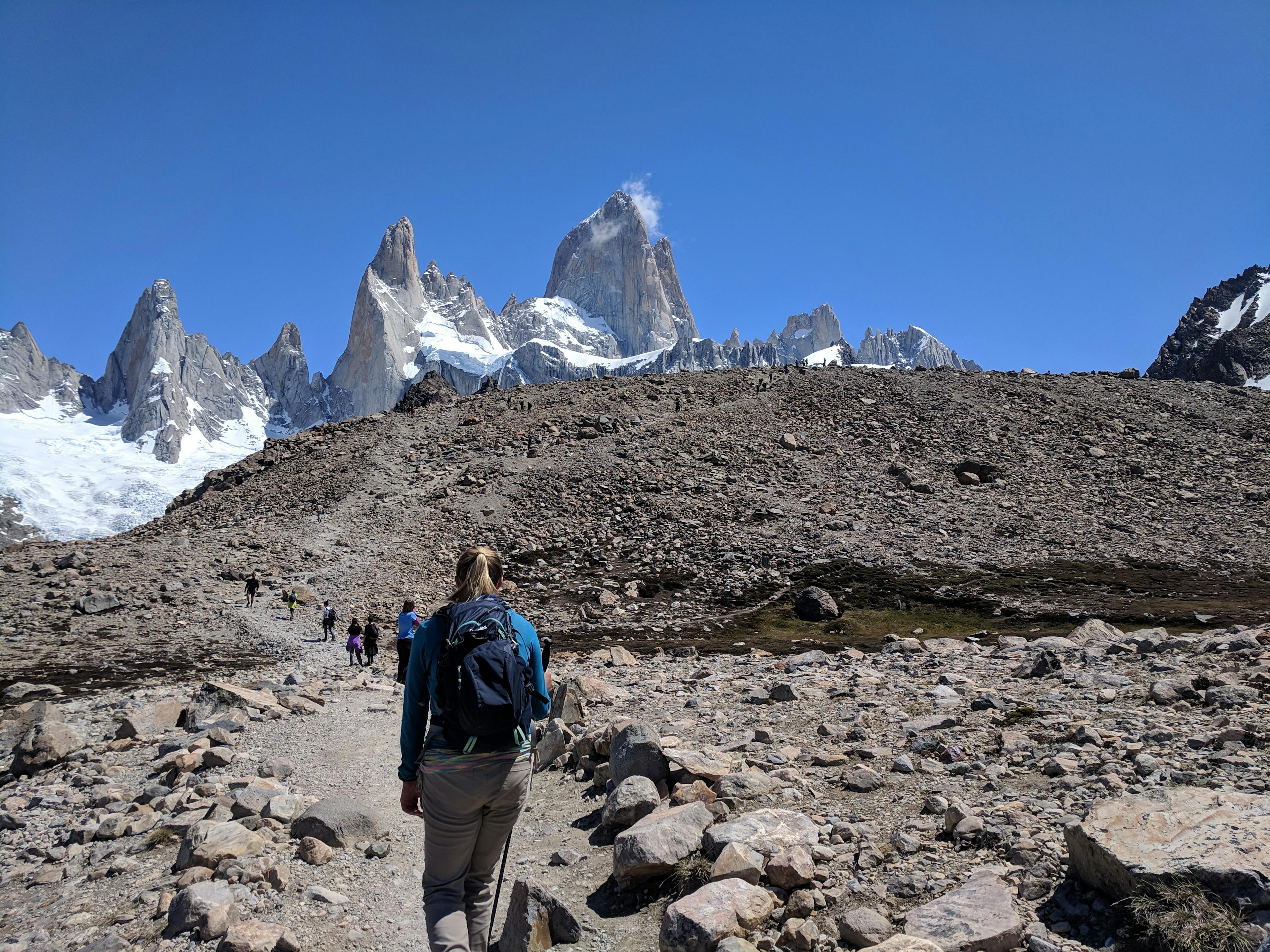
We walked through a camp and soon came upon a sign that said “one hour to Lago de los Tres” My watch was already at 9.5km, so I figured the whole 10km map directions were false. We ate a few snacks and began our walk up to Lago de los Tres.
Last Stretch to the Top
The 1 hour was so steep! It was way more difficult than the entire rest of the trail, and we were feeling very tired. So many people were passing us so we figured we were really out of shape, bad hikers. On our way up, we started seeing snow, and after walking 1.5km, we reached the top!
Lunch with a View
The view was incredible! Lago de los Tres had large chunks of broken ice on it, and the sky was so clear you could see the entire mountain top. There were quite a few people at the top, many eating snacks/lunch and we decided to join the snack party. After eating snacks and taking a few photos, we decided to hike down right up next to the lake.
We also walked around to see Laguna Sucia, another lake just over a drop on the left side. It was very far down, and there was snow melt from Lago de los Tres flowing down the mountain to Laguna Sucia.
Piedras Blancas
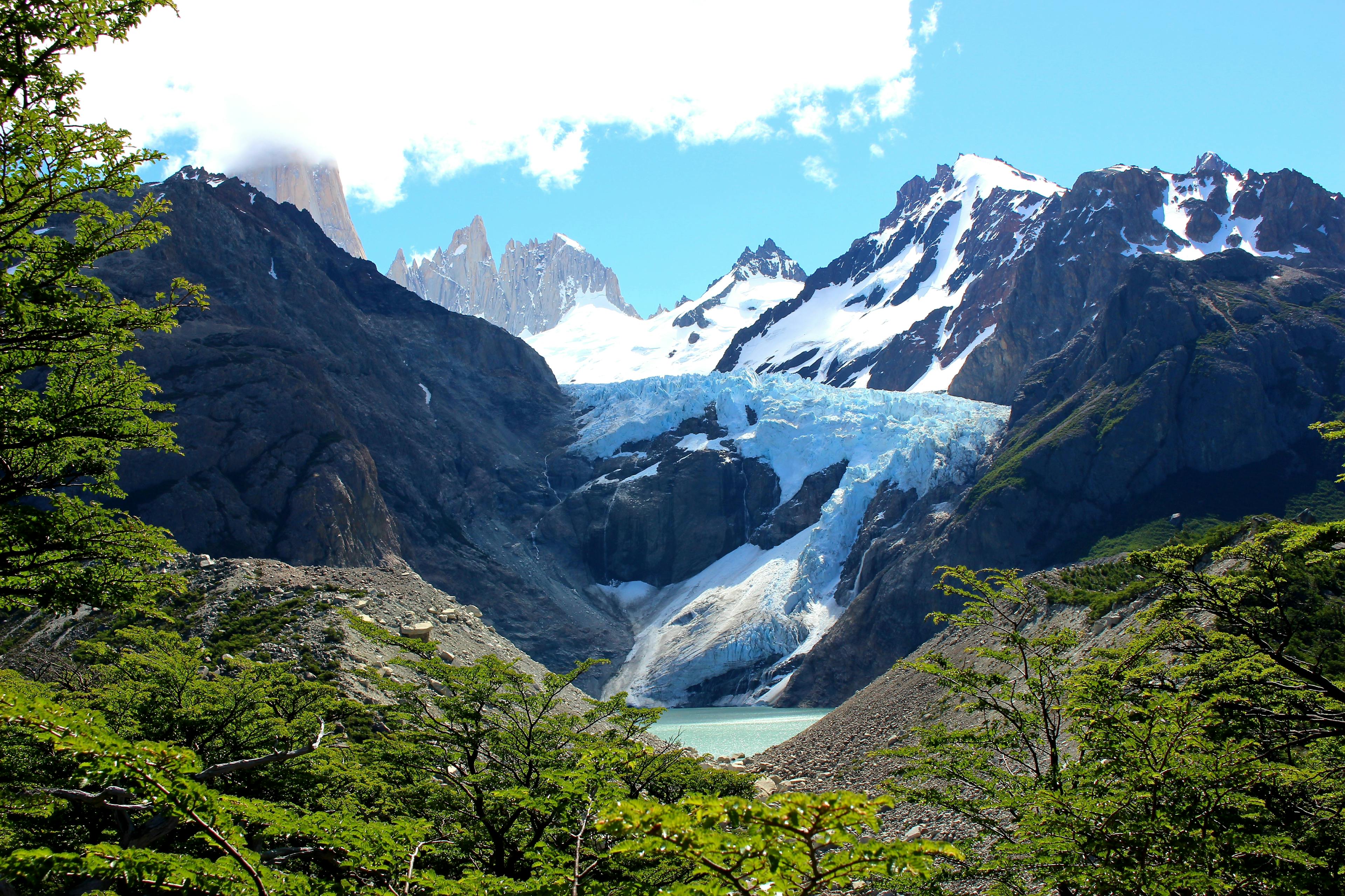
After our snacks and taking photos of the beautiful Fitz Roy, we began our trek back to town. Although we were feeling pretty sore, we decided to take the side trail to Mirador Piedras Blancas. The trail was fairly flat, and it was only about 2.5km before we got the the viewpoint. The view was incredible, and the glacier was huge. Although we were hesitant to add more distance to our already long hike, it was definitely worth it.
The Way Back
After seeing Piedras Blancas the trail seemed to drag on due to our sore feet, but after a while we came back to the fork in the trail between the camp and the viewpoint, and this time opted to head towards Laguna Capri camp. The lake was beautiful, and we decided to take a break before continuing back to town.
By the time we got back to town, we had walked almost 30 km! According to my watch, we walked almost 19 miles, and had climbed an elevation of 3,629 feet! The hike was definitely worth it.
Dinner
We were so hungry on the way back, that instead of waiting to buy food to cook, cook it, and then eat, we opted to stop and get food. We ended up at a place called B & B Beers & Burgers, which ended up having what we consider the best burgers we had in all of South America. The restaurant was really full, so we ended up sharing a table with a couple from Germany and Switzerland. They had also just hiked Fitz Roy, and we mentioned to them how we felt everyone was so fast during the last steep incline, while we were dying! The couple informed us that this is because you can take a bus to a different trailhead which makes the hike much shorter and less difficult. This made us feel a lot better about our hiking abilities.
After eating we headed back to the hostel to shower and sleep forever.
Until next time!
Love,
Lauren (and Gerrod)


